The highest point in Essex County is in Andover, at the top of Holt Hill in the Ward Reservation. The Trustees describe the "Solstice Stones" up there as "a compass-like arrangement of stones set up to mark the sunset on the longest and shortest days of the year." The shortest of those days is about a month away. On Sunday, December 20, 2026, The Trustees will lead a Winter Solstice Walk at Ward Reservation. It's a beginner hike of about 2 miles and roughly an hour and a half up Holt Hill to the stones. Space is limited, and you have to register in advance.
Between now and then, the walks that fit a short afternoon are the ones with a clear route and a known way in. Andover has several, and the newest is a trail on Route 28 that is heading into its first winter. Ward itself is open daily from 7 a.m. to sunset, so its hours end with the light.
Goldsmith Woodlands Has Its First Winter With the All Persons Trail
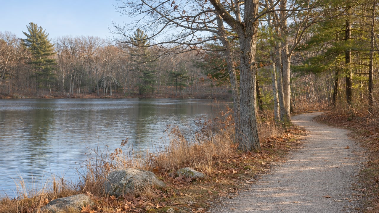
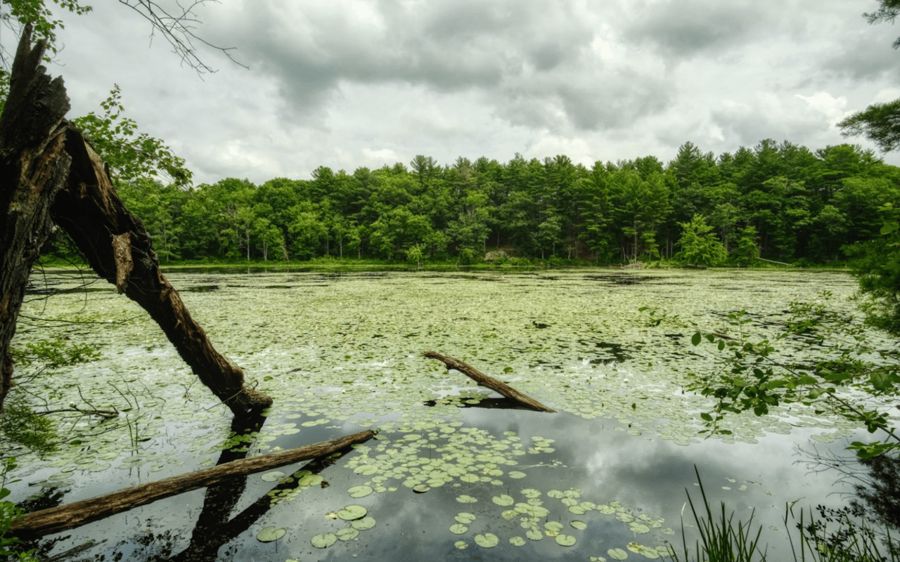
Goldsmith Woodlands is a 170-acre reservation owned by the Andover Village Improvement Society, AVIS, with its trailhead at 491 South Main Street, on Route 28. An old woods road winds to Bessie's Point, which overlooks Foster's Pond. Some of the trees, rhododendrons and laurels along that road were planted by Bessie Goldsmith herself. AVIS points out the avenues of black pines, so dense that few plants grow beneath them. The pond marshes are home to pitcher plants, sundew and Great Blue Herons, and the uplands have deer, fisher, fox and wild turkey.
On May 16, 2026, AVIS opened the All Persons Trail, an accessible route out to Bessie's Point. The Appalachian Mountain Club's professional trail team surfaced the last 300 feet, the section over the glacial esker, and the reservation was closed from April 23 to May 6 while that work was done. In AVIS's June 25, 2026 project update, AVIS Trustee Susan Stott, who led the project, explained how it started: "During the pandemic, we saw how vitally important it was for people to have the opportunity to get outside and experience nature. Unfortunately, it also became strikingly clear that not everyone could access our reservations. That's how this project was born."
Parking is the one thing to plan for. According to that same update, the trailhead holds only 8 to 10 vehicles, and most days visitors also park along Route 28 in the state highway right-of-way. AVIS has put a handicapped parking marker at the existing trailhead. The next phase, already approved by the Andover Conservation Commission, would expand the lot to 22 spaces, two of them ADA-compliant. AVIS hopes to raise the money by the end of 2026 so the expansion can be built in 2027. Until that work is done, the lot holds the same 8 to 10 cars.
Ward Reservation Is the Place to Practice for December 20
Ward has 704 acres and almost 15 miles of trails, described as easy to moderate and strenuous in places. The main entrance and parking lot are at 65 Prospect Road, 0.3 miles off Route 125. It was pieced together from more than 40 parcels across two Merrimack Valley communities. Its trails link three hills, Shrub, Boston and Holt, and The Trustees say the summits have views from the Merrimack Valley toward the Boston skyline. Trustees members park free, and nonmembers pay a parking fee. Dogs are welcome on leash.
If you have only half an hour before dark, start at the bottom of Holt Hill. A short walk from the parking lot reaches Pine Hole Pond, where a boardwalk crosses a quaking bog made of concentric rings of floating vegetation. The bog has orchids and insect-eating pitcher plants, and numbered stations along the boardwalk mark botanical and geologic features. The wheelchair-accessible trail is about a quarter mile out and back. It starts as stone dust and changes to wood decking, ends at a floating dock and viewing platform on the open water of Pine Hole Bog, and has four accessible benches along the way.
Before you go, download The Trustees' Ward Reservation trail map. The kiosk at the entrance has a map too, and The Trustees suggest taking a photo of it on your phone. Map stations stand at trail intersections. The solstice walk itself is about 2 miles with moderate elevation gain, and the event page warns that the trails may be wet, snowy or muddy. Walking the Holt Hill route once beforehand is a good way to see what footwear it needs that week.
The Bay Circuit Trail Leads From Ward to the Skug River
Some of Ward's trails are part of the Bay Circuit Trail, a regional greenway that links the North Shore and the South Shore. The same trail also passes through the Skug River Reservation. That AVIS reservation covers 75 acres between Salem Street to the north, Jenkins Road to the east and Harold Parker State Forest to the south. The parking lot is on Salem Street between Route 28 and Jenkins Road, with limited parking on Jenkins Road, Rachel Road and Korinthian Way.
AVIS's route description makes this the best stretch in town for boardwalks. The Bay Circuit Trail weaves in and out of the Skug reservation past vernal pools and rock formations, then crosses a boardwalk to the Salem Street exit. Across Salem Street it enters the Hammond Reservation and crosses a small wooden bridge along a nineteenth-century dike of stone and earth. From there it turns into the Mary French Reservation and follows a wooden bog bridge and boardwalk through wetland along the Skug River, coming out on Korinthian Way. Those sections total 1.1 miles. If you want to keep going, the trail continues onto Andover Conservation Commission land along the Great Swamp, which AVIS notes is good for bird-watching. A Bay Circuit Trail walk with two cars, one parked on Salem Street and one on Korinthian Way, makes a good one-way outing for a holiday weekend with family in town.
Deer Jump Has Six Ways In Along the Merrimack
On the north side of town, Deer Jump Reservation is a long, narrow 131-acre AVIS property along the Merrimack River. It has hemlock groves, an open meadow and high bluffs. The ice age left step-like deposits of glacial sediment there, known as kame terraces. Deer Jump has no single main lot. Walkers park at the ends of Brundrett Avenue, Fossen Way, Inwood Drive and Nollet Drive, on Launching Road, and at Raven's Bluff. With that many entrances, you can do it as a series of short sections instead of one long walk, and AVIS's own route descriptions run in segments such as Nollet Drive to Launching Road. A short segment fits a late-afternoon walk in December.
From the Eco Team to Holt Hill
AVIS has one event on its calendar for Thanksgiving weekend. On Saturday, November 28, from 1:00 to 3:30 p.m., the AVIS Eco Team holds an invasive plant identification and removal session, and AVIS asks people to sign up for Eco Team emails through its events page. Three weeks later, on Sunday, December 20, the Trustees' group heads up Holt Hill to the Solstice Stones.
AVIS's reservations total more than 1,200 acres, with 30 miles of trails, boardwalks and bridges, all open for walking or skiing if the snow arrives early. Local merchants carry the 2026 print edition of the Andover Trails Guide. The town's Andover Mass Trails & River Web Map has maps of each reservation. If you see a fallen tree across a trail, AVIS has a contact form for reporting it. For more on what's happening around town, our Andover neighborhood page and our summer post on downtown Andover's calendar pick up where the trails leave off.
If your family has a favorite Andover walk, whether the walk out to Bessie's Point, a stretch of the Bay Circuit Trail, or the climb to the Solstice Stones, we'd love to hear about it. Evelyn Rockas is always collecting the local places that make the North Shore feel like home, and she's happy to swap trail notes over coffee this winter. Let's Connect.